Place Created: Washington, D.C.
Year Created: 1883
Historical Theme:
Categories of Documents:
Description:
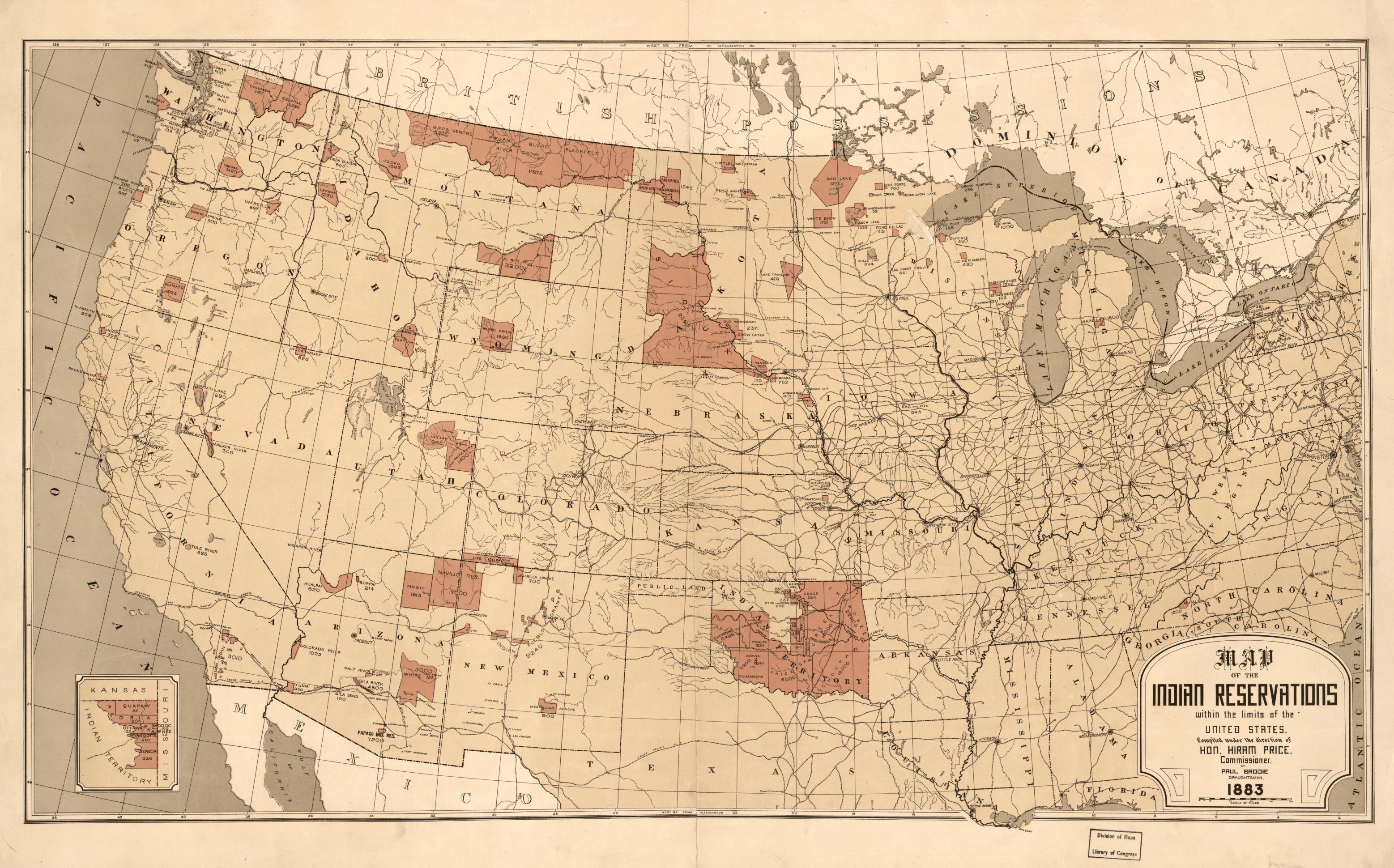
This map, which was created in 1883, shows the different indigenous reservations with the borders of the United States.
Physical description:
1 map : col. ; 45 x 76 cm.
Source: Brodie, P. T, and Hiram Price. Map showing Indian reservations within the limits of the United States. [Washington, DC?: s.n, 1883] Map. Retrieved from the Library of Congress, <www.loc.gov/item/2009579475/>.
Link to content: